A Practice of Wayfaring
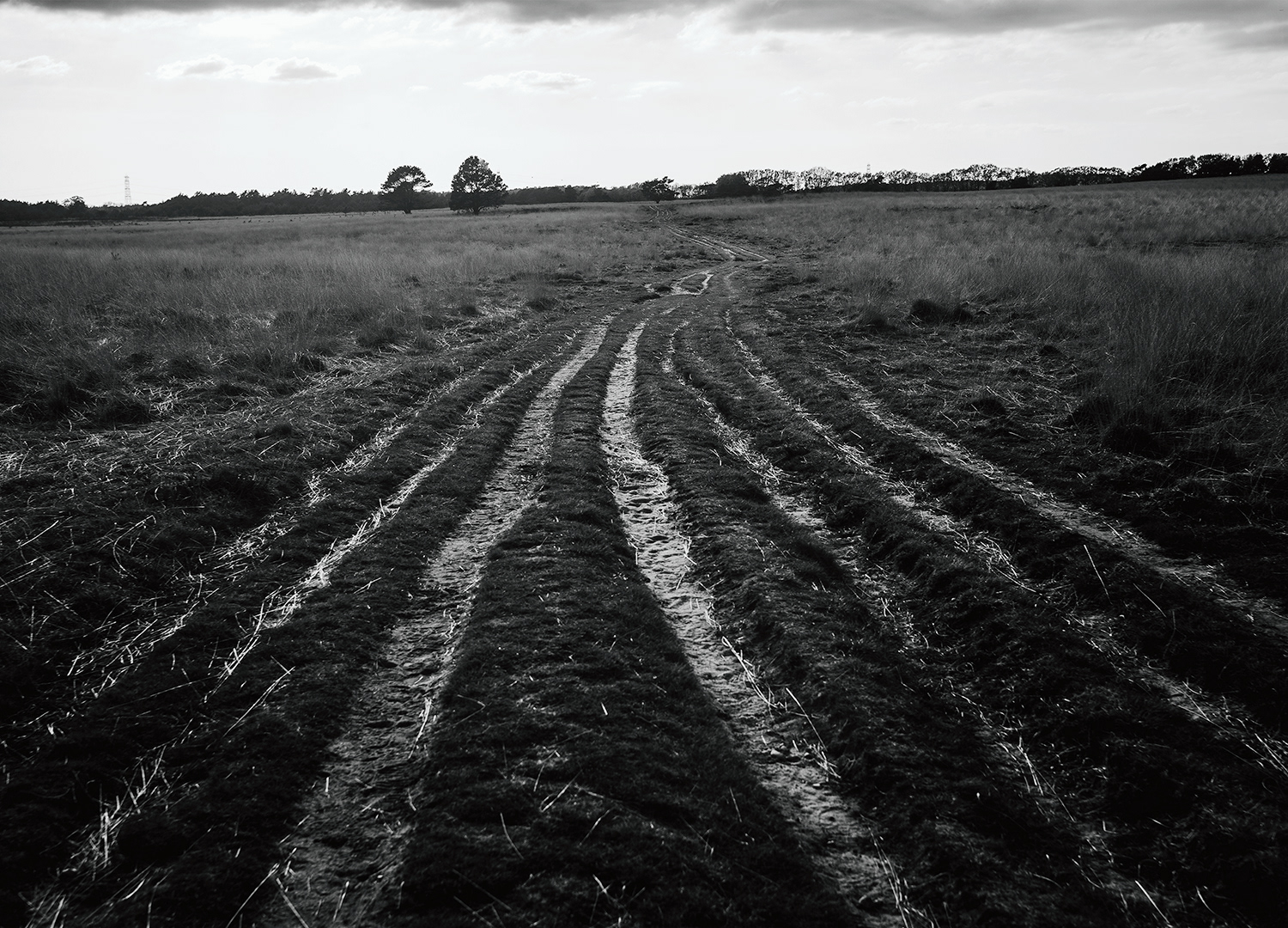
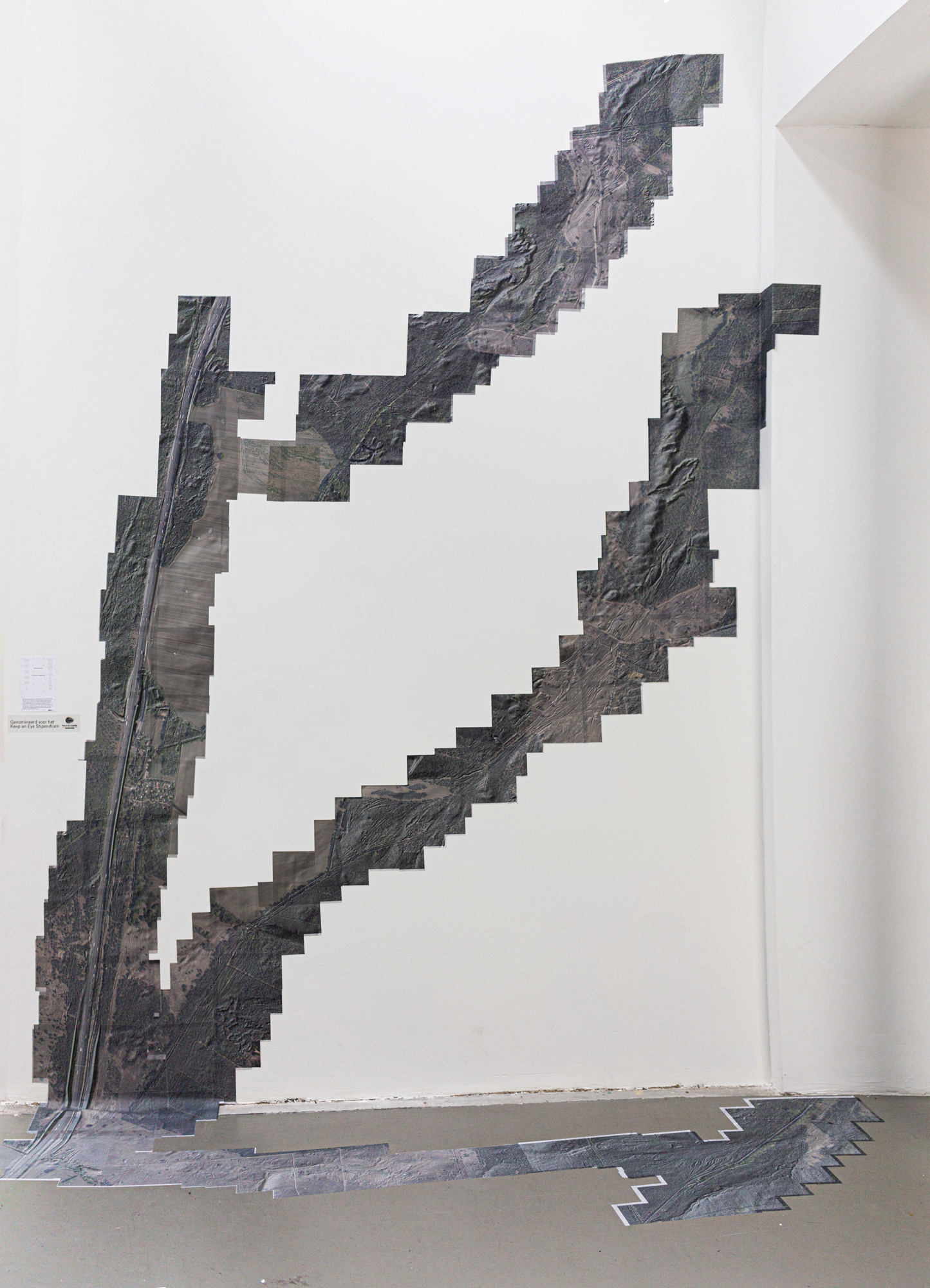
By using multiple publicly available image-making technologies—satellite imagery, LIDAR imagery, and ground-level photography—I trace old and abandoned paths running through the Veluwe, where I live. These paths were shaped by countless feet, wheels, and the hooves of animals, gradually eroding the topsoil. They emerged in a reciprocal relationship with the land, meandering through hills, valleys, and shifting sands.
By following these paths—once traveled by people and animals—I aim to experience the landscape as they did. My role is more like that of a hunter tracking a trail than that of a navigator studying a predetermined plan.
In the way these pathways came into being, I see a practice of wayfaring—a process in which those who inscribed these lines with their movement and attention to the land were, in a way, waiting for the land to reveal itself to them. They responded by pushing into the unknown with every step, mirroring the process of life itself.
This experience is vastly different from the way modern roads or cities are designed. In contemporary infrastructure, the will and vision of the developer or architect impose themselves onto the landscape, shaping not only the terrain but also the way travelers experience these constructed paths.